|
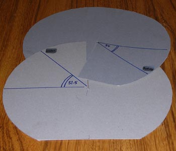
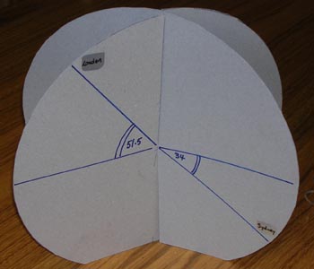
A model to demonstrate latitude and longitude Cut 2 discs of cardboard. Cut a radial slit in each so that they slot together as shown. Mark your chosen cities and their angles of latitude. In the illustration London at North and Sydney at South are shown. Cut off a small segment at the South Pole so that the model stands up. Adjust the angle between the two planes in the model to show the difference in their angles of longitude. |
|
Take the origin at the centre of the earth, the x-axis through the Greenwich Meridian at the equator, the y-axis through longitude East at the equator and the z-axis through the North Pole. London is approximately on the Greenwich Meridian so the 3-D coordinates of London are ). |